
Basic Map Reading Skills Training - Narberth
Fri, 15 November 2019
10:30 – 15:30 GMT
Course outline
This course will look at basic map reading skills.
Basic Map reading skills, signs and symbols, short map reading exercise.
The course will also focus on:
- Understanding signs and symbols within map reading
- A practical map reading exercise
Attendees
This training session is open to all individuals, members of charities who are looking to increase their map reading skills. For current members of Ramblers, the training session is free. If you are not a current member of Ramblers, the session costs £20 per person.
The new course has been specially designed to cover the essentials, as well as the scenarios you are most likely to face on a group walk. You will cover key skills including how to assess and treat an unresponsive casualty and perform CPR – with topics including bone and muscle injuries, heart attacks, and emergencies resulting from weather extremes.
The course lasts three and a half hours, and will be delivered by an expert St John Ambulance trainer. It is a practical course, with time to practice your new skills and ask questions.
Thanks to support from players of People’s Postcode Lottery, the training is free of charge. We will also reimburse travel expenses. You can find all the details on the first aid webpages.
Military GPS jamming exercises in the Sennybridge area between the 5th and 23rd August 2019 may render GPS devices inaccurate or unreliable when walking on the surrounding hills. Always carry a map and compass and know how to use them.
Further details Notification of GPS jamming exercise: Sennybridge, 5 – 23 August 2019
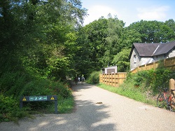
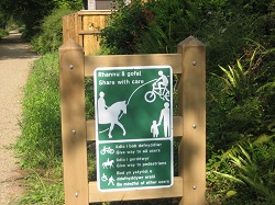
A new multi user path between Blackpool Mill and Canneston Woods has been opened. This is part of a new route that will ultimately connect Narberth to Haverfordwest. As such it will createa useful extension to the Knights Way, forming a continuous route from Amroth to Haverfordwest.
We have arranged for Ian Meopham, Pembrokeshire Coast National Park Ranger, to run a course on the above subject.
The date is the Thursday 22nd August 2019 at 18:00 and the event will last about 1½/2 hours.
We need to provide numbers, so please express your interest by
The venue is Tresinwen Farm. This is out by Strumble Head Lighthouse and the grid reference is SM902 406
An Introduction to Satellite Navigation and Digital Mapping
This course is primarily aimed at anybody who has no knowledge of SatNavs and would like to know how they work and what they have to offer. Existing GPS users may find some of the content useful background information.
Content:
- How do they work?
- Types of device
- Advantages and disadvantages
- Using the technology - On a walk & Planning a walk
- Other useful sources of digital information
- Hands on session