Mynachlogddu Horseshoe - 19th December 2020
10.5 miles.
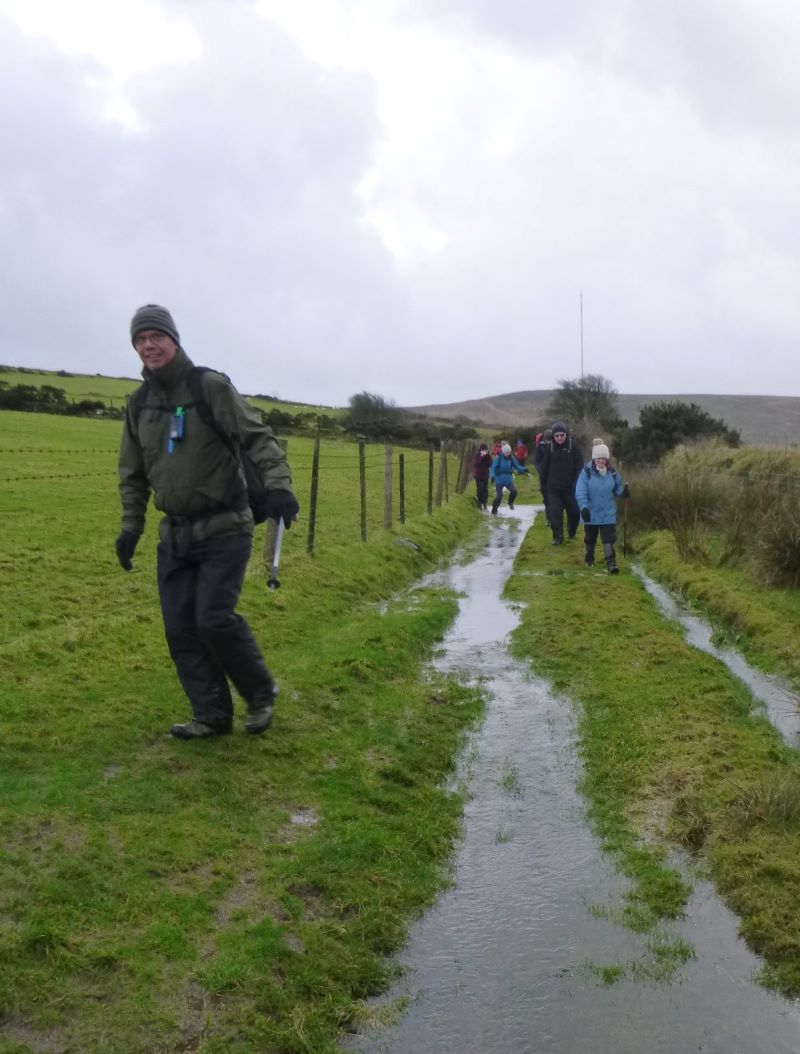
During the winter months it is expected that Pembrokeshire is normally wet and soggy and the ground all boggy, but conditions on 19 December 2020 took it to an all-new level. The preceding week had been very wet indeed, leading to standing water and squelchiness just about everywhere. Nevertheless 12 walkers braved these conditions. This walk fortunately coincided with the first break in the weather and the forecast promised sunny spell interrupted by showers. As it was, we had three showers during the walk.
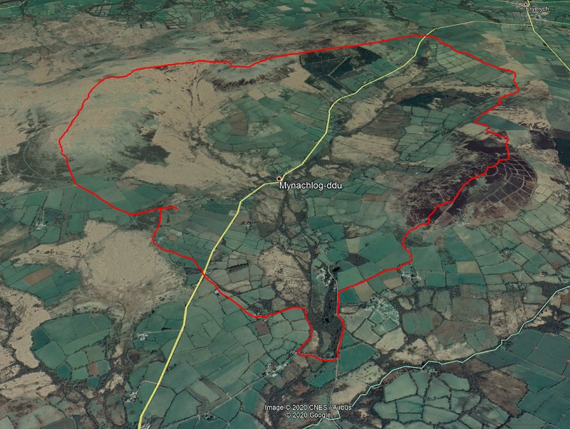
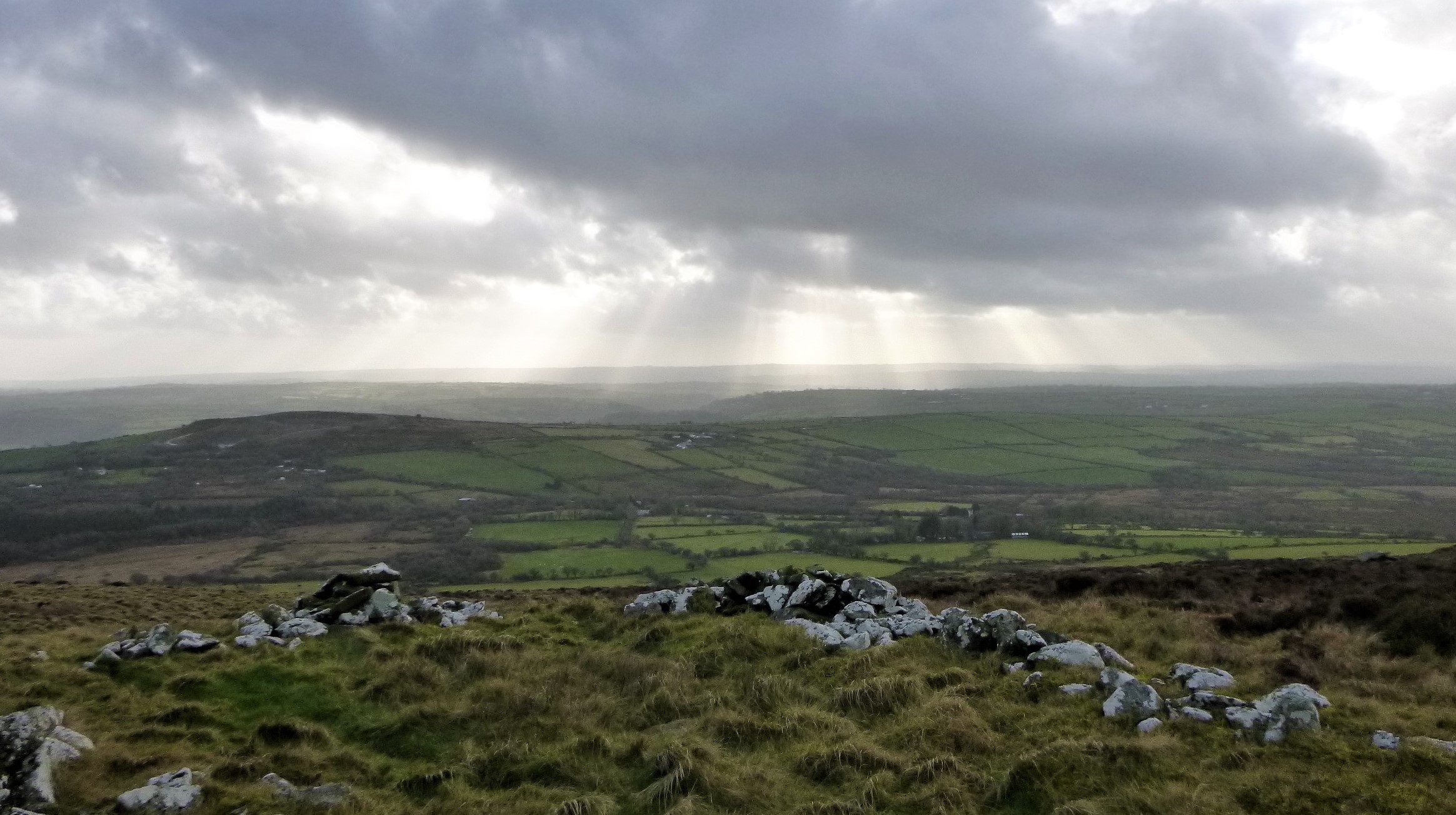
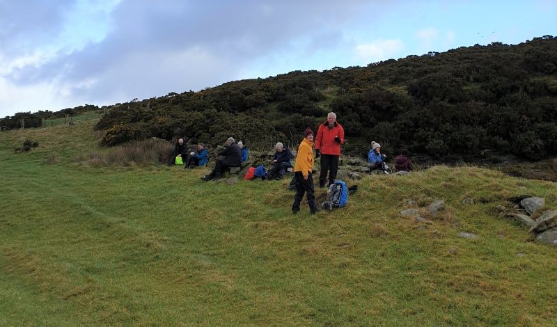
We set of heading south from the Waldo Williams monument across Gors Fawr moor, what were normally minor streams had now turned into waters courses that demanded attention and careful selection of crossing points. Turning away from the moor it was a wade down a green lane and then to the track that leads to Coleg Plas Dwbl. Heading out of the back of the Coleg, you enter the lowest and decidedly wettest part of the walk, Penralltfach nature reserve. With some persistence we eventually reached the lane and bridge over the upper reaches of the Eastern Cleddau, this gave some respite and surer footing. We left the lane at Fferm-y-Capel, had a break at the quarry at the foot of Foel Dyrch before heading straight uphill to the summit. There is a curious looking sheep pen on the top next to a stone cairn. The views across the end of the valley and the Preseli Hills opened up and the entirety of the horseshoe walk could be seen.
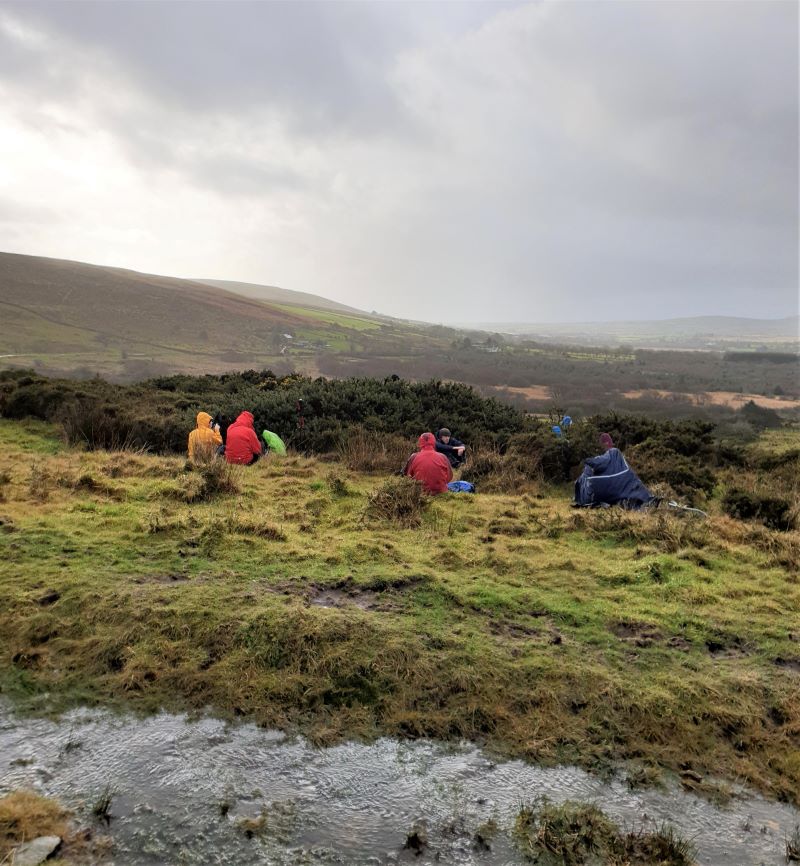
The descent down the far side of Foel Dyrch was steady, the paths are good and zigzag-ed across moorland and fields, eventually emerging back onto the lane at Pen yr Ddafad. There is a short walk up the lane before a turn left onto a mostly unused path that heads up hill to the bridleway. We stopped for lunch here and were instantly hit by the first of today's three hail showers.
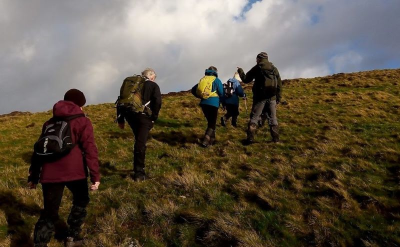
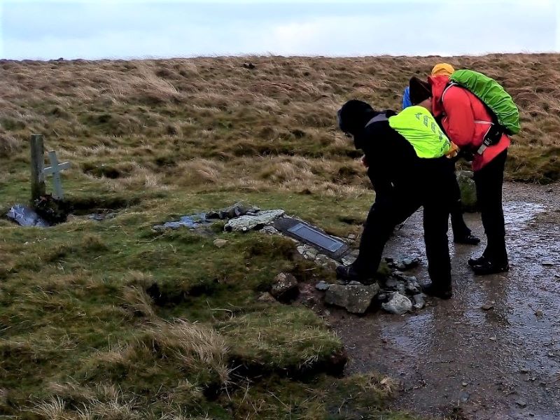
We dodged the larger of the puddles as we headed down the bridleway towards the lane and carpark and the main and most popular route up Foel Drygarn. Foel Drygarn was an option but given the conditions and time restraints due to the light, we headed up the Golden Road towards Carn Meini. On the gradual ascent we experienced our second stinging hail shower. However, the views from the ridge and the watery lighting were more than sufficient compensation. The path dipped into the bwlch before heading up to the Bedd Arthur stone circle. A little further and it was time to turn left off the main path and head over the tussocky broad ridge. it doesn't have a name, but the spot height is 402 metres, the highest point of today's walk. It was then a straightforward enough task of following the ridge south. We did the find the crash site of the Liberator that crashed in September 1944 and spent a few moments there.
It was all downhill from here, on steep, wet and slippery grass. Before reaching the road, we were hit by the final hail shower. Thankfully, it was a simple quarter of mile road walk to reach the safety of the cars.
Davey